GeoDataINRAE
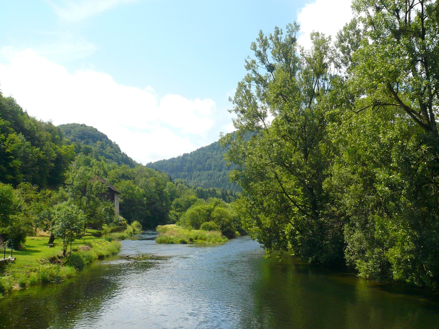
Carte d'occupation du sol des corridors rivulaires du bassin versant de la Saone 2014
Cette carte a été produite dans le cadre de la convention 2010 -- 0190 de l'Agence de l'Eau Rhône Méditerranée et Corse concernant l'optimisation d'une méthode de quantification du rôle des corridors rivulaires sur l'état écologique des cours d'eau.
Simple
- Date (Revision)
- 2022-05-17T19:09:25
- Edition
-
1.0
- Edition date
- 2015-01-01
- Citation identifier
- 0ede2b71-d599-4baf-ad75-9f62050eb864
- Cited responsible party
-
Organisation name Individual name Electronic mail address Role AgroParisTech
Flavie Cernesson
Principal investigator
- Purpose
-
La revue bibliographique préliminaire a mis en évidence l’importance de décrire les activités humaines induisant les pressions sur les cours d’eau. Une façon de rendre compte de ces pressions est de caractériser grâce à une donnée cartographique d’occupation du sol les espaces naturels et ceux liés aux activités humaines. Cette carte fournit une description fine (à haute résolution spatiale) de l'occupation du sol sur la zone d'interface entre milieu terrestre et aquatique, afin de servir comme donnée en entrée pour le calculd’indicateurs d’occupation du sol caractérisant les pressions diffuses interagissant avec les cours d’eau.
- Status
- Completed
- Point of contact
-
Organisation name Individual name Electronic mail address Role AgroParisTech
Flavie Cernesson
Principal investigator
- Maintenance and update frequency
- Not planned
-
General
-
-
cartography
-
remote sensing
-
land cover map
-
Very High spatial resolution optical imagery
-
- Use limitation
-
This work is licensed under a Creative Commons Attribution 4.0 License (CC BY 4.0, https://creativecommons.org/licenses/by/4.0).
- Access constraints
- License
- Use constraints
- License
- Classification
- Unclassified
- User note
-
unclassified
- Classification system
-
no classification in particular
- Handling description
-
description
- Spatial representation type
- Vector
- Distance
- 20 m
- Language
- Français
- Character set
- UTF8
- Topic category
-
- Environment
- Imagery base maps earth cover
))
- Begin date
- 2014-01-01T00:00:00Z
- End date
- 2014-12-31T00:00:00Z
- Supplemental Information
-
some additional information
- Reference system identifier
- EPSG / 2154
- Distribution format
-
Name Version GPKG
1.0
Digital transfer options
- OnLine resource
-
Protocol Linkage Name file for download
http://idg-tetis.teledetection.fr/sauv_saone/2014_notice_cartoOSCR/notice_cartographie_OSCR_VF.pdf notice cartographique
file for download
http://idg-tetis.teledetection.fr/sauv_saone/GDB/CoucheOccSol_BVSaone_MTD_FlavieCernesson/livraison_EPTB_mars2014/OSCR_zones_livraison_v2_L93.gpkg geopackage
file for download
http://idg-tetis.teledetection.fr/sauv_saone/GDB/CoucheOccSol_BVSaone_MTD_FlavieCernesson/livraison_EPTB_mars2014/OSCR.zip OSCR
- Hierarchy level
- Dataset
Conformance result
- Title
-
Data Quality check
- Alternate title
-
This is is some data quality check report
- Date (Publication)
- 2022-05-17T19:09:25
- Explanation
-
some explanation about the conformance
- Pass
- Yes
Conformance result
- Title
-
Commission Regulation (EU) No 1089/2010 of 23 November 2010 implementing Directive 2007/2/EC of the European Parliament and of the Council as regards interoperability of spatial data sets and services
- Date (Publication)
- 2010-12-08T12:00:00
- Explanation
-
See the referenced specification
- Pass
- Yes
Conformance result
- Title
-
COMMISSION REGULATION (EC) No 1205/2008 of 3 December 2008 implementing Directive 2007/2/EC of the European Parliament and of the Council as regards metadata
- Date (Publication)
- 2008-12-04T12:00:00
- Explanation
-
See the referenced specification
- Pass
- Yes
- Statement
-
La méthodologie développée dans le cadre de ces travaux est basée sur celle créée par Tormos et al.(Tormos, 2010, Tormos et al., 2012). Les adaptations et les améliorations proposées sont détaillées dans les travaux de Decherf (Decherf, 2010, Decherf et al., 2011) et Ose (Ose and Decherf, 2011). Lacartographie est créée à partir (i) de la combinaison de données multi-sources, (ii) de la connaissance du terrain et (iii) de la mise en œuvre d’une approche de classification orientée objet. Les données mobilisées possèdent une résolution spatiale fine à très fine : imagerie satellitaire et aérienne àhaute et très haute résolutions spatiales ainsi que des bases de données géographiques à grande échelle géographique.
Metadata
- File identifier
- 0ede2b71-d599-4baf-ad75-9f62050eb864 XML
- Metadata language
- English
- Character set
- UTF8
- Hierarchy level
- Dataset
- Date stamp
- 2022-05-17T19:27:53
- Metadata standard name
-
ISO 19115:2003/19139
- Metadata standard version
-
1.0
- Metadata author
-
Organisation name Individual name Electronic mail address Role CNRS
Claudia Lavalley
Point of contact AgroParisTech
Flavie Cernesson
Principal investigator AgroParisTech
Flavie Cernesson
Publisher AgroparisTech
Aurelia Decherf
coAuthor AgroparisTech
Nathalie Lalande
coAuthor INRAE - UMR TETIS
Kenji Ose
coAuthor
)))